
Wooldridge, Missouri was a victim of the Flood of ’93. Driving down into the Overton Bottoms Refuge area (which is adjacent to Wooldridge), it’s hard to get a feel for the volume of water that ran this town into near collapse. This Sign signifies an entrance.
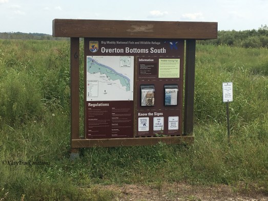
The map helps our minds grasp a picture of the area the refuge embodies.

")
There were still crops to harvest at the time we meandered down this gravel road.
")
")
Driving over the tracks, aka city limits.

I didn’t find a lot of information about Wooldridge, Missouri other than the flooding of ’93 and the founder’s name. But I found several moments where I wished for someone to be standing outside that I could have asked a few questions. In the meantime, I leave you with the last photo here of some hidden doors that are behind that semi- trailer.
Sidenote: I found it tough to snap photos of the delapidated places we drove past here. I felt I was nearly intruding on these residents and the conditions some were actually living in. But hindsight has brought me the realization that I should have photographed it for various reasons. One huge reason is for a viewpoint of the lasting impact of natural disasters. Lesson learned.
Discover more from Katy Trail Creations
Subscribe to get the latest posts sent to your email.


I used to help my grampa at that feed store
LikeLiked by 1 person
It’s so sad what’s happened there! I’m wanting to do a follow up post but it’s been too hectic here. Thank you for sharing!
LikeLike